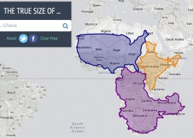
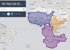
The true size of countries (Mercator map projection)
An interactive resource which uses the Mercator map projection to show the true size of different countries.
-
Idioma:
- Inglés
Recurso educativo
-
Aún no hay comentarios, ¡comparte tu opinión! Inicia sesión o Únete a Tiching para poder comentar


¿Dónde quieres compartirlo?
¿Quieres copiar el enlace?